Find automatically the best sessions nearby in 1 click. Simple, customizable and collaborative
Paragliding Devil's Dyke
Best Conditions
Optimal Wind Direction
Optimal Speed (mph)
Description
Devil's Dyke, located on the South Downs near Brighton, UK, is a frequently used paragliding site known for its good cross-country (XC) potential. The site features a half-mile northwest ridge leading to a north-facing bowl with a northeast spur, followed by a two-mile north ridge extending to Truleigh Hill.
Before flying, it's essential to contact the local club and follow the site rules. A briefing and day membership are necessary. Detailed site rules and guidelines can be found in the [SHGC Sites Guide](http://www.shgc.org.uk/files/siteguides/SHGC%20Sites%20Guide%202015e.pdf).
The take-off height is 700 feet above mean sea level (215 meters), with a top-to-bottom height of 500 feet (152 meters). The site is suitable for pilots with a CP+ rating. Airspace restrictions are 4500 feet to the north and 5500 feet to the south. The nearest Sat Nav postcode is BN1 8YL. The wind direction is typically WNW to N.
The site can be very busy, especially on weekends. To avoid congestion, consider using alternative sites like Firle, Ditchling, or Truleigh. The steep, wooded bowl to the north of the pub is reserved for model fliers and should not be over-flown below 250 feet above ground level (950 feet amsl). The paddock area west of the pub is primarily for hang gliders and should be kept clear of paraglider traffic as much as possible.
For hang gliders, the take-off areas include the paddock, the southern part of the main area near the fence adjoining the paddock, and the area north of the paraglider take-off area. Paragliders take off from the main area in front of the car park or in the bowl in northerly winds.
Top landing for hang gliders is behind the bowl and in the paddock, while paragliders may top land anywhere except the hang glider paddock. Bottom landing for paragliders is in the designated set-aside area of the large field below take-off beside the road.
Be aware of hazards such as high voltage power lines halfway to Truleigh, a fence immediately below the take-off area, and power lines on the northern boundary of the fields north of the road. The site is often affected by sea-breeze, which can cause severe turbulence.
Directions to Devil's Dyke: Take the A2038 off the Brighton Bypass (A27) and follow the signs to 'Devil's Dyke'. The National Trust operates a pay-and-display car park, and the pub will refund your car park fee if you spend over £10.00.
For more information, visit the [Southern Hang Gliding Club](http://www.shgc.org.uk) or the [Flybubble Paragliding Facebook page](https://www.facebook.com/Flybubble.Paragliding).
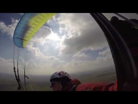
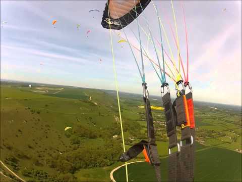
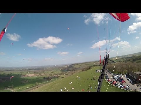
Watch videos of flights at Devil's Dyke:
- [Video 1](