Ditchling is a north-facing bowl with a good north-westerly take-off option. The walk from the car park to the take-off area is approximately 800 meters. The site offers a ridge run of 7 kilometers east to Offham and 2 kilometers west to the Jack & Jill windmills at Clayton. In thermic conditions, this can be extended a further 2 kilometers by crossing to Wolstonbury Hill, allowing for an easy downwind flight to Newtimber and the Dyke ridge beyond. Ditchling is known for its good thermal soaring conditions and potential access to sea breeze fronts.
To fly at this site unsupervised, you must have top and slope landing tasks signed off. Contact the Southern Hang Gliding Club before flying, follow site rules, and ensure you have a briefing and day membership. More details can be found in the [SHGC Sites Guide](http://www.shgc.org.uk/files/siteguides/SHGC%20Sites%20Guide%202015e.pdf).
Take-off involves walking approximately 800 meters west from the National Trust car park and entering the site over a stile. You can take off anywhere in the bowl area. For an alternative NNE take-off, walk east across the road from the car park, through the gate, and approximately 100 meters to the stile on your left. The take-off area is to the left of the footpath beyond this stile. Note that there is no agreed bottom landing area below this launch point at this time.
Landings can be made anywhere on the hilltop within the site area, but watch out for the fence behind the take-off. There is no agreed bottom landing for hang glider pilots, who generally land in the field immediately behind the launch and move their gliders back to take-off over the stile fully rigged, which requires assistance. There is no permission to land in the field behind the take-off area on top. You can land anywhere in the grassed L-shaped area directly below the hill and southwest of the crossroads, but keep out of the crops in the adjacent fields.
Hazards include a large number of rabbit holes within the site's boundaries. If the wind is strong and off to the east, you may encounter rotor at the right end of the bowl. The trees on the lower slopes create a steep wind gradient with associated lee turbulence, so take care when setting up bottom landing approaches behind trees. In strong winds, there is usually a large rotor behind the trig point by the car park.
Ditchling is located 10 kilometers south of Haywards Heath in mid-Sussex, and 2 kilometers south of Ditchling village. From Ditchling village, follow the sign to Ditchling Beacon. If approaching from the south, turn off the A27 one junction east of the A23, which is signposted Ditchling and Hollingbury Industrial Estate, onto the Ditchling Road, and follow signs for Ditchling. Just before the descent of the northward slope of the South Downs, you will see the National Trust car park on the left.
The car park is at the top of the hill to the west of the road and is owned by the National Trust, who lock the gate at dusk. If the park is congested, drop off your glider and park at the bottom of the hill by the crossroads.
For more information, visit the [Southern Hang Gliding Club website](http://www.shgc.org.uk/).
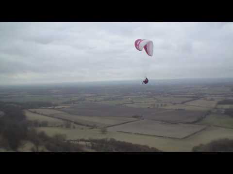
Watch some flights at Ditchling:
- [Flight Video 1](
Click to watch video
)
- [Flight Video 2](
Click to watch video
)
- [Flight Video 3](
Click to watch video
)
- [Flight Video 4](
Click to watch video
)