Find the best sessions nearby in 1 click.
Simple, customizable and collaborative
best Conditions
Wind Dir. :
SSE
SE
ESE
Wind: Mini: 0| Maxi 25 kmh Gust Max : 30 kmh
Description
Altitude: 2100 m
Difficulty: Easy
Cable Car: No
Hiking Time: 75 minutes
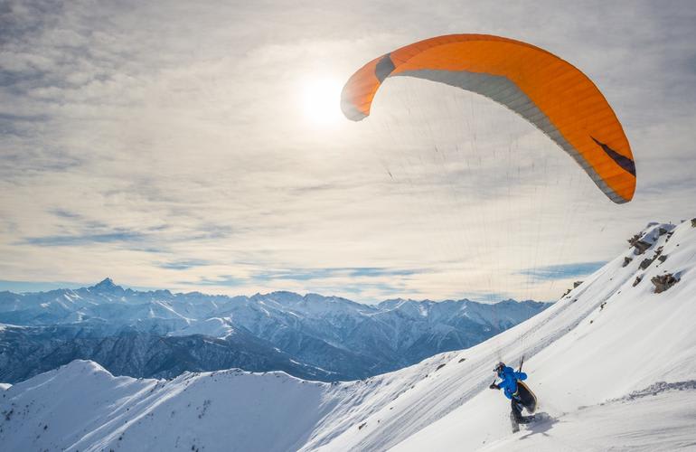
Starting from Sachseln, take the mountain road to Älggi. From there, follow the hiking trail to the summit. The launch site is a large, moderately steep meadow.
Special Airspace Regulations for Paragliders and Hang Gliders:
Be aware of the CTR (Control Zone) Buochs/Alpnach and the TMA Buochs/Alpnach/Emmen. A specific regulation for hang gliders in this area must be strictly followed. Outside tower operating hours (Mon-Fri 07:30-12:05 and 13:15-17:05), the Stans flying area can generally be used without restrictions and without radio communication. However, the current status must be checked before the flight by calling ++41 41 620 91 06 (recording or air traffic controller). This exception can be revoked, especially on weekends within 3-4 hours and on weekdays even more quickly. The validity of the recorded message will also be announced. Violations will be penalized by air traffic control.
Local Webcams (Obwalden & Nidwalden):
http://www.nielsen.ch
View of Lake Sarnen from Wilen (Sachseln)
Walk and Fly:
You need to be in good physical condition as the area is quite remote and therefore not frequently flown from. The starting point is Sachseln. The route is Sachseln – Oberschwanden – Stockalp – Arnigrat – Sachsler Hausberg Wandelen, covering approximately 14 km with a 2100 m elevation gain.
The hike offers various routes. Starting from Sachseln (472 m), the trail heads south past the beautiful 17th-century village church to the Steinen district, then uphill along the Steinibach to Hinterbüelen (706 m). Through the Schwandenwald forest, you reach the alpine meadows of Schwanden (1100 m) and continue uphill to the Alp Burgletsfluh (1180 m). Over the Alp Hüttmatt, you reach the mighty cross on the Stuckli (1800 m). To reach Arnigrat (2018 m), you can take a route via Stockalp or a slightly more westerly route via Alp Astel. The Wandelen (2124 m) can be reached from Arnigrat via the Astelhorn (2086 m), with some caution needed on the final stretch. For the descent, there is a direct path to the valley via the Mettental, Ob. and Unter Mus Alps to Edisried (5157 m) near Sachseln, or the hiking trail via Alp Chlister to Alp Aelggi (1666 m, geographical center of Switzerland). Refreshments are available in Sachseln, Aelggi, and Edisried.
Soaring Conditions:
In Bise conditions, you can enjoy a leisurely flight. However, it can become more challenging with thermal influences.
Landing Zone:
Landing is available in Sachseln.
Popularity: 55 Views