Find automatically the best sessions nearby in 1 click. Simple, customizable and collaborative
Paragliding Sharpenhoe Clappers Luton
Best Conditions
Optimal Wind Direction
Optimal Speed (mph)
Description
Sharpenhoe Clappers is a small paragliding site located in Bedfordshire, UK. The site is managed by the Dunstable Hang Gliding and Paragliding Club (DHPC) and is exclusively for its members. Guests are not permitted, and strict adherence to the club's rules is required.
The site offers a modest height difference of 145 meters (210 feet) from top to bottom, with a height above sea level of 500 feet at the launch field's top fence. Despite its small size, it is known for the potential of excellent cross-country (XC) flights. The site record is an impressive 100.8 km.
The wind direction for optimal flying conditions is from the Northeast to East (45˚-90˚), with the best conditions being East-Northeast (60˚).
Parking is available at both the top and bottom of the hill. At the top, ensure no valuables are left in view due to a history of thefts. At the bottom, park in the layby just east of the turning up to the hill to keep the road clear.
Directions: Sharpenhoe Clappers is situated about six miles north of Luton on the A6, and a mile west of Barton-le-Clay. When in Barton, take the turn to Sharpenhoe/Harlington, follow the road over the A6 bridge, and turn left at the next main road. The car park is at the top of the hill on your left.
Site Rules:
- The site is for Dunstable members only.
- Only BHPA Pilot-rated (P) and experienced XC pilots are allowed.
- No Club Pilot (CP) rated pilots.
- No professional instruction or motorized flying equipment.
- No top landing or taking off from the launch field when sheep are grazing.
- A maximum of 8 gliders can be rigged on the hill at any one time.
- Pilots new to the site should be accompanied by experienced pilots.
- Class D airspace is above the site at 3,500ft AMSL. Check your Airmap.
Launch Areas:
The launch point is a small lump of ground in the middle of the launch field. The ridge is extremely shallow, and a good determined run is needed at launch due to the shallow slope and difficult surroundings. Always turn left and tuck in as tight to the trees in the bowl as you dare.
Top Landing:
The marked area behind take-off is 50ft higher than the launch point. Be cautious of overshooting into the barbed wire fence at the front of the field. Ensure you have enough height and fly well back before setting up the approach for landing.
Bottom Landing Area:
The official bottom landing area is marked. Try to land next to the Barton road to minimize crop damage. Beware of the power lines crossing the left of the landing field. If you overshoot, land as close to the road as possible and de-rig in the official landing area.
XC Flights:
Avoid getting caught in rotor near the west face if there is a strong easterly. The height limit over the hill is 3500ft QNH, rising to 4500ft a few miles downwind. After Leighton Buzzard is Daventry CTA with a FL55 limit. To the south of Oxford is the AIAA with only Brize Norton CTA (Class D) to navigate around. Fly with an up-to-date air map and avoid Woburn Abbey and the wildlife park.
For more information, visit the club's site guide: [Dunstable Hang Gliding and Paragliding Club - Sharpenhoe Clappers](http://dunstablehpc.co.uk/site-guides/sharpenhoe-clappers/)
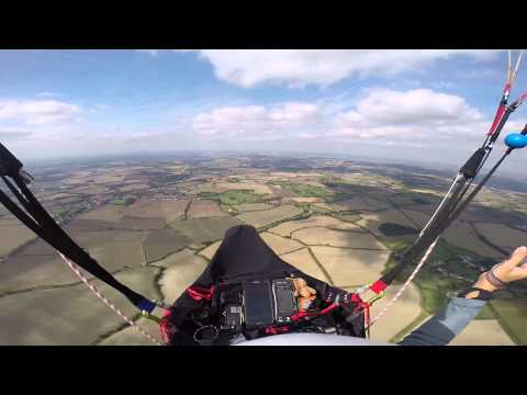
Watch videos of flights at Sharpenhoe Clappers:
- [Video 1](
Click to watch video
)
- [Video 2](
Click to watch video
)
- [Video 3](
Click to watch video
)
Popularity: 12 Views
Next optimal sessions
(Calculated by the Spots Guru algorithm)
Friday 20 June
04:41
21:25
12h
ESE
10 | 20mp/h
2057 m
77 %
Saturday 21 June
04:41
21:25
11h
E
9 | 20mp/h
1545 m
3 %
19h
ESE
9 | 20mp/h
2558 m
0 %
Monday 23 June
04:42
21:25
09h
NNE
12 | 16mp/h
752 m
99 %
10h
NNE
12 | 14mp/h
935 m
98 %
11h
NNE
11 | 13mp/h
1216 m
85 %
12h
NNE
10 | 12mp/h
1569 m
71 %
Wednesday 25 June
04:43
21:25
2 days of Forecast per week are reserved for members.