Find the best sessions nearby in 1 click.
Simple, customizable and collaborative
best Conditions
Wind Dir. :
ESE
E
ENE
NE
NNE
Wind: Mini: 0| Maxi 25 mph Gust Max : 18 mph
Description
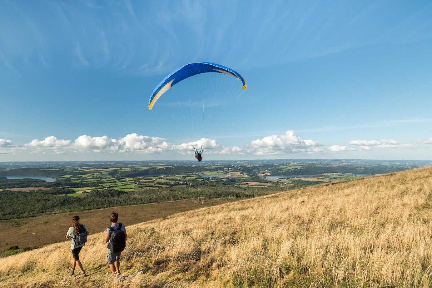
Walt's Point, located in the Sierra Nevada region of California, is a renowned launch site for experienced paragliders and hang gliders. With an elevation of 2785 meters and a height difference of 1455 meters, it offers a challenging yet rewarding experience for advanced pilots. The site is particularly famous for its historical significance in setting numerous world records.
The launch direction is typically East/Northeast, making it an excellent morning site. The launch area is accessible via a 2WD paved road, taking about an hour from Lone Pine to reach the top. The launch itself is straightforward for hang gliders, while paragliders face a flat slope leading off a cliff, requiring advanced skills.
Before flying, ensure the winds are not coming from the west, as this can make flying over the Sierra Nevada quite treacherous. After launching, pilots should turn right and fly towards the saddle to catch the first thermals.
Walt's Point is a prime location for cross-country (XC) flights, with the site record standing at an impressive 411.9 km. The area is known for its strong thermals and the potential to fly by Mt. Whitney, the tallest peak in the contiguous United States, and even cross into the Nevada desert.
For more information and community discussions, you can visit the Sierra Nevada Facebook group: [Sierra Pilots](https://m.facebook.com/groups/Sierra-Pilots-572758099419600/). Weather updates can be found at [Sierra Nevada weather stations](https://sierragliding.us/?fbclid=IwAR0-uVwyKB6SH0TOXnw-BCBKfNsC1Ba57D8Tnz5_L166elVhzLU0Xrryde0).
For additional insights and videos on flying in Owens Valley, check out:
- [Owens Valley Telegram group](https://m.facebook.com/groups/572758099419600/permalink/4391826357512736/?m_entstream_source=group&paipv=0&eav=AfaGvwOO16ZEWumpX0jhChtkqMJ4B9jPQj8CuncWwKgaz2mLMKm7EhXvEY2Xvp1AQJg)
- [Introduction to Owens Valley flying (HG)](https://www.youtube.com/watch?v=Vg5EvhN4IU0)
- [XC Mag Travel Guide](https://xcmag.com/downloads/cross-country-travel-guide-2010-dps.pdf)
- [Walt's Point XC info](https://www.wilderadventures.com/launch/830/walts-point-lone-pine)
- [Owens Valley flying](https://karicastle.com/owens-valley/)
- [BHGC site information](http://www.bhgc.org/sites/#site_walt-s-point-horseshoe-meadows-ca)
- [Weather forecast](https://forecast.weather.gov/MapClick.php?lat=36.472700&lon=-118.114950&site=rev&unit=0&lg=en&FcstType=text)
Walt's Point is a must-visit for seasoned pilots looking for a thrilling and historic flying experience.
Popularity: 11 Views