Serra do Chapadão - Pimenta, MG, Brazil
Altitude: 1200 meters / 3936 feet
Vertical Drop: 380 meters / 1246.4 feet
Wind Direction: SE, E, NE, N, W
WayPoint: S20.34.35.28
Access: Follow BR 050 to the city of Pimenta, enter the city and head towards Santo Hilário. After 2 km on the dirt road, turn right (S 20.30.14.60” W 45.48.56.80”) and follow the signs to "Fazenda Chapadão" until you reach the top of the mountain, approximately 16 km.
Take-off Coordinates:
- Northeast: S 20.34.35.28” W 45.52.19.36”
- North: S 20.34.11.67” W 45.52.37.03”
- East: S 20.33.27.68” W 45.53.19.36”
- West: S 20.35.02.87” W 45.54.06.59”
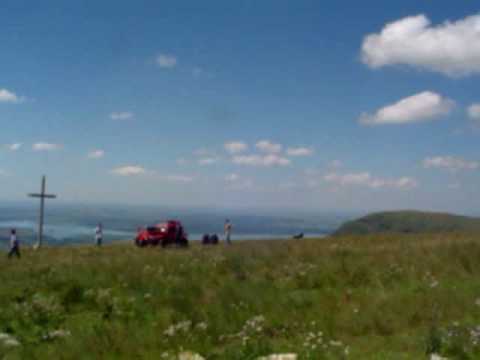
Take-off: Level II take-off on the Northeast, East, and West ramps. Level III for North take-off, which has a cliff with rotor. The top of the mountain is flat, making it easy to take off and land. There is no infrastructure, so bring water and snacks, and close the gates when passing through.
Landing: Multiple landing spots at the base of the mountain, next to the road leading up to the ramp, making retrieval easier.
Best Season: September to April
Advantages: Multiple take-off options, landing on the ramp. Lift up to 15 km on the east ramp. Cross-country flying over the Furnas reservoir, offering stunning views.
Disadvantages: 18 km of dirt road to the ramp. Retrieval can be complicated if landing on the other side of the reservoir, significantly increasing the distance and effort to locate the pilot.
General Info: The region is very beautiful with the Furnas lake and many waterfalls.
Records: Paragliding: Dâmaso 'Formiga' 38 km, taking off from the Chapadão ramp, flying over the city of Guapé (20 km), and landing in Ilicinea.
For more information, visit:
- [YouTube Video](
Click to watch video
)
- [Guia 4 Ventos](http://www.guia4ventos.com.br/rampas-do-brasil/36-rampas-de-voo-livre-mg/269-rampa-na-serra-do-chapadao-pimenta-mg)