Find the best sessions nearby in 1 click.
Simple, customizable and collaborative
best Conditions
Wind Dir. :
WSW
SW
SSW
SSE
SE
ESE
Wind: Mini: 0| Maxi 25 kmh Gust Max : 30 kmh
Description
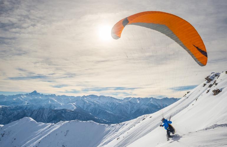
Altitude: 2055 m, easy level
This site is rarely used and typically offers short flights. It is ideal for hike & fly enthusiasts, with an approximate hiking time of 1 hour and 30 minutes.
Takeoff:
Orientation: South
Difficulty: Easy
Altitude: 2060 m
Cable Car: Yes
Coordinates: 8.50197088, 46.9146621
Hiking Time: 90 minutes
To reach the takeoff point, take the aerial cableway from St. Jakob to Gitschenen. From there, follow the marked trail on foot to Alp Bolgen and continue to the takeoff site. The takeoff area is a steep meadow.
Popularity: 63 Views