best Conditions
Wind Dir. :
WSW
SW
SSW
S
SSE
Wind: Mini: 7| Maxi 25 mph Gust Max : 22 mph
Description
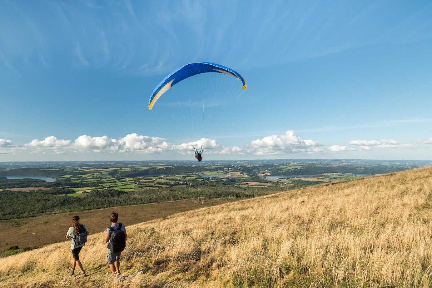
Bates Ridge in California offers a unique paragliding experience with medium to strong coastal wind soaring. The site is sensitive, so you must contact the local club and be a member to fly here. Top landing is possible.
The site features two launch points. Lower Bates is a SSW-facing cliff launch situated about 50 feet above a beach strip, often experiencing cross and turbulent winds. Upper Bates, located a few hundred yards west of Lower Bates, is a gentler south-facing grassy slope about 300 feet above the beach. This launch accommodates a broader range of wind conditions but is set back 100-200 feet from the beach, with power lines and railroad tracks below. Both launch areas have ample setup space adjacent to parking.
The primary landing zone (LZ) is the beach below the launch. While generally unrestricted, the beach can become narrow during high tide, so it's essential to check its width before landing. Be mindful of wandering spectators.
Access to the site is straightforward. Any vehicle can reach the lower launch via a paved road. For the upper launch, the paved road ends a few hundred feet before the setup area, crossing a high berm into a large dirt parking lot. Vehicles with low ground clearance may need to park and hike the last bit.
While the site is not officially regulated, this may change. In 1993, extensive use for paragliding training led to conflicts with local police. Hang gliding is currently permitted, but landing on the beach may result in a citation. Check with the Topa Flyers for the latest information. Intermediate-level skills and windy cliff launching techniques are required.
Bates Ridge is soarable in westerly pre/post-frontal conditions, similar to those in Santa Barbara. The wind conditions can change abruptly, so look for wind lines on the ocean moving toward the shore. It is possible to transition from Bates Ridge to the main Rincon Ridge and head XC southeast toward Ventura. The first 1.5 miles of this flight lack landing zones, so only attempt this with at least 700-800 feet of altitude unless you are experienced at this site. Beyond this section, there are various small LZs near the freeway.
For Lower Bates, take Highway 101 to the Bates Road exit in Carpinteria, head south to the edge of the gated community, and turn right into the parking lot. The launch is at the cliff across the lawn from the parking area. For Upper Bates, take the next exit NW to Route 150, head south until the road ends in a T, turn left for a few hundred yards, and the road will end in a cul-de-sac. The launch is across the large dirt lot to the right.
For more information, visit:
- [Wilder Adventures](https://www.wilderadventures.com/launch/955/bates-carpinteria)
- [Santa Barbara Soaring Association](https://sbsa.info/visit/)
- [Topa Flyers Site Guide](https://topaflyers.com/site_guide/siteguide.html#bates)
Check the weather forecast here: [NOAA Weather](https://forecast.weather.gov/MapClick.php?lat=34.381738&lon=-119.484446&site=rev&unit=0&lg=en&FcstType=text#.Y1jvuj1Bypo)
Watch related videos:
- [Video 1](https://www.youtube.com/watch?v=wShPJoj9qJQ)
- [Video 2](https://www.youtube.com/watch?v=lmvDncpZVOo)
- [Video 3](https://www.youtube.com/watch?v=iIn3fvNMVgU&t=3s)
Popularity: 49 Views